NEW HOPES FOR UMATILLA RIVER SALMON AND STEELHEAD
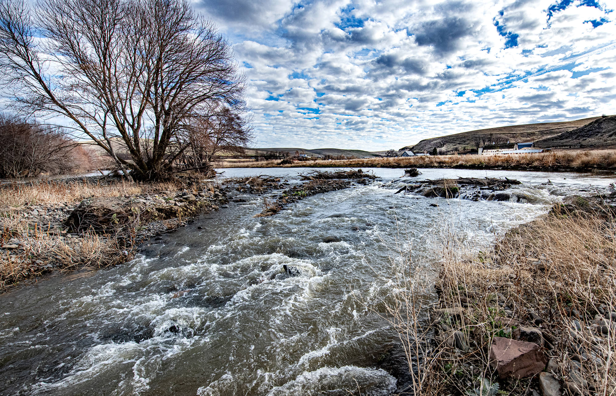
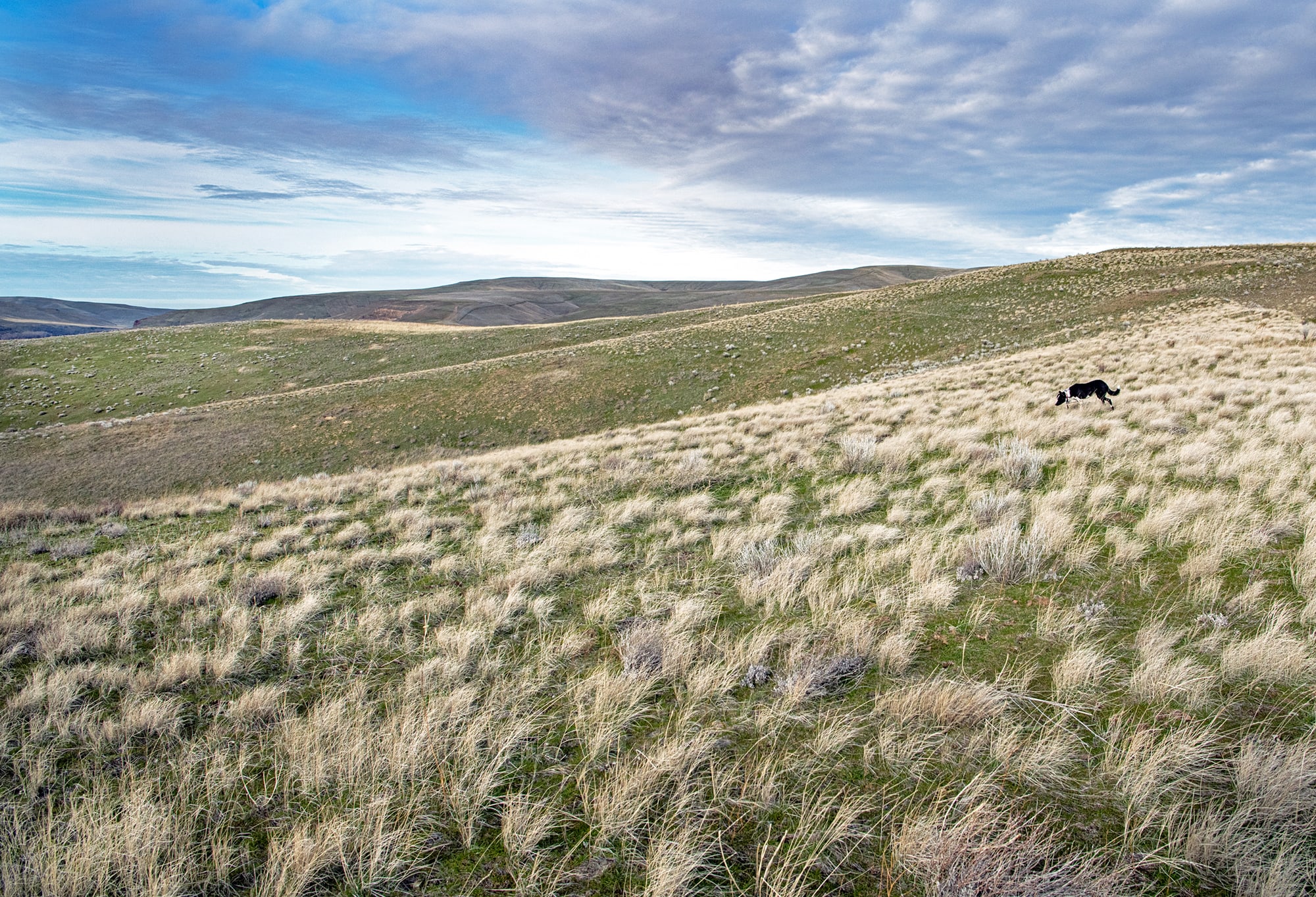
The Umatilla River flows for 89 miles from its Blue Mountain headwaters in northeastern Oregon to the Columbia River, at the town of Umatilla. The upper portions of the watershed are forested in the Umatilla National Forest. From there, the river flows off the national forest onto the Confederated Tribes of the Umatilla Reservation (CTUIR), where forests give way to sagebrush and agricultural lands on the Columbia Plateau. The river then flows through the heart of downtown Pendleton before entering an agricultural reach for the remainder of its run to the Columbia.
The Umatilla is a river of contrasting and historically conflicting uses, heavily appropriated for irrigated agriculture and, at one time, thriving with robust runs of anadromous fish. It was drained dry along its lower reaches for half of the last century and is now heavily de-watered throughout much of its course. The consequences for Umatilla salmon and steelhead have been devastating. Its once strong runs of Chinook and coho were lost, and the steelhead run dwindled to almost nothing. Working to bring these vital fish runs back to the Umatilla, the CTUIR has led the way with fisheries recovery efforts in partnership with federal, state and local partners. These efforts involve fish reintroductions, habitat restoration and irrigation water re-distribution. Now, there are new hopes for this critical salmon stream, which once again sustains Chinook and coho salmon, summer steelhead and bull trout. But more work remains to be done.
CONSERVATION SETS THE STAGE FOR RESTORATION
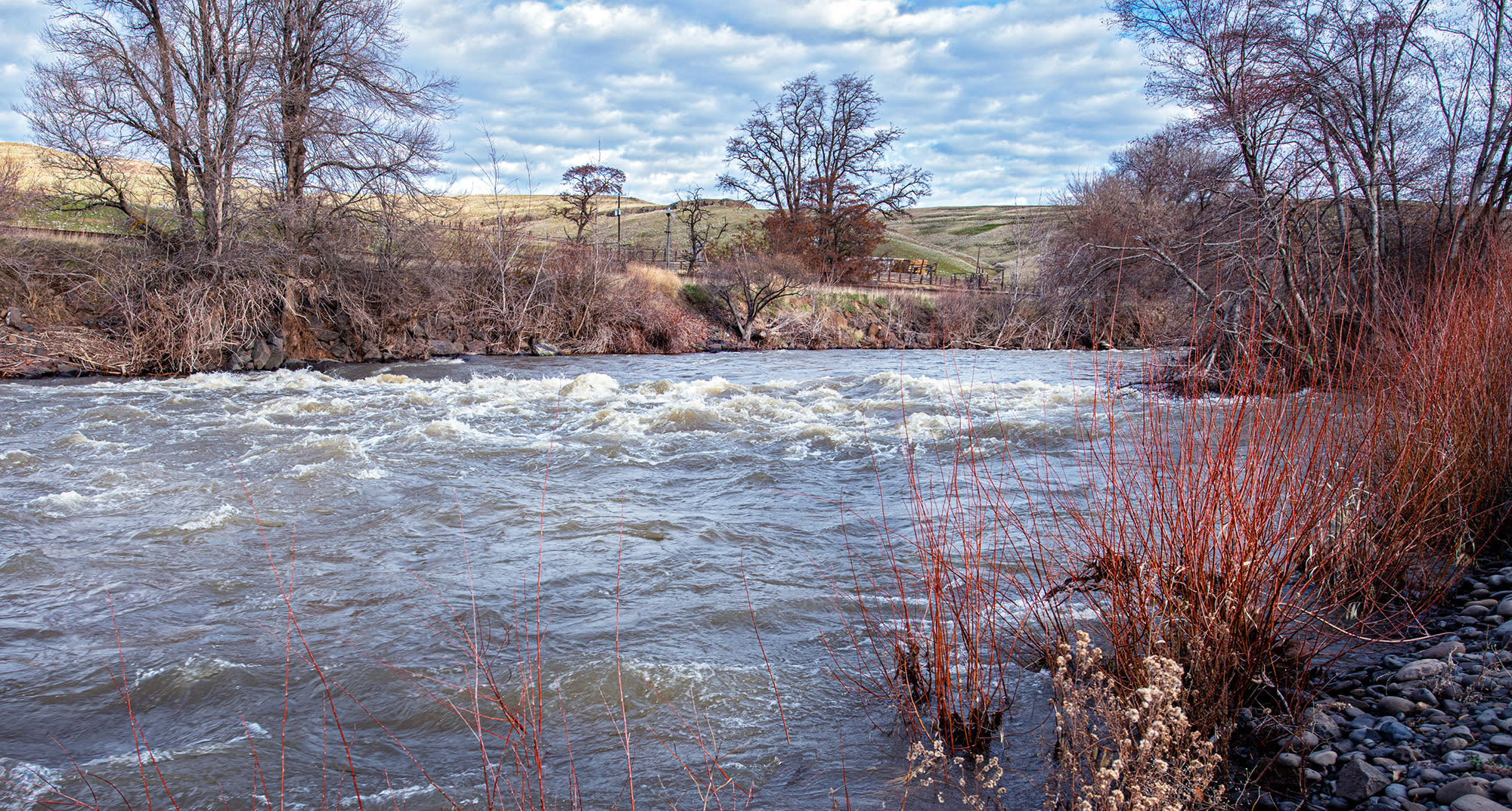
Western Rivers Conservancy has partnered with the Umatilla Tribes to conserve a critical property at the confluence of the Umatilla and Birch Creek, roughly four miles downstream of the city of Pendleton. WRC set its sights on conserving the 943-acre UmaBirch Floodplain property for several reasons. Above all, the property contains the largest floodplain restoration potential in the entire Umatilla Basin. In January 2025, we secured transfer of a conservation easement over the property to the Blue Mountain Land Trust. This will allow the Tribes to restore 317 acres of agricultural land to functioning floodplain, reconnect side channels, reestablish riparian forests and to dedicate the ranch’s senior water rights permanently in-stream for fish. Our efforts also conserve 1.35 miles of the Umatilla River and 1.37 miles of lower Birch Creek, the Umatilla’s top producer of steelhead.
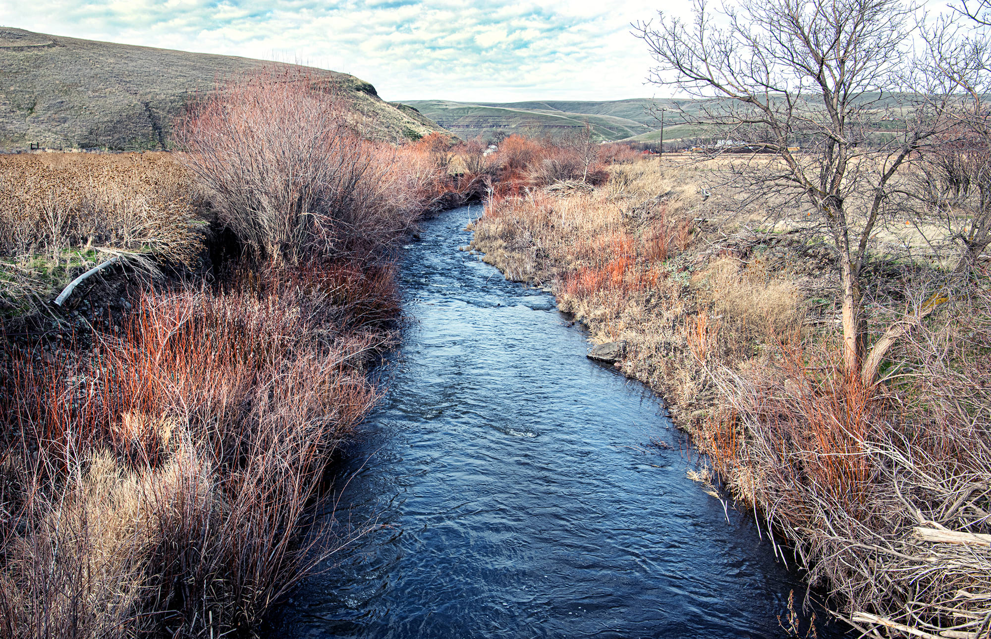
On a separate project just upstream, on Birch Creek, we are also working to convey Birch Creek Ranch to the CTUIR so they can undertake additional floodplain and stream restoration. Birch Creek Ranch contains significant senior water rights that the CITUIR will dedicate back in-stream, returning even more water to Birch Creek the Umatilla. Together, these projects are a one-two punch for habitat, water, fish and wildlife that will dramatically improve the odds of steelhead and coho thriving again in the Umatilla system.
These efforts build on WRC’s partnership with the Umatilla Tribes between 2013 and 2015, when we conserved a ranch on Catherine Creek and laid the groundwork for a massive salmon restoration project on this vital Grande Ronde/Snake River tributary.


