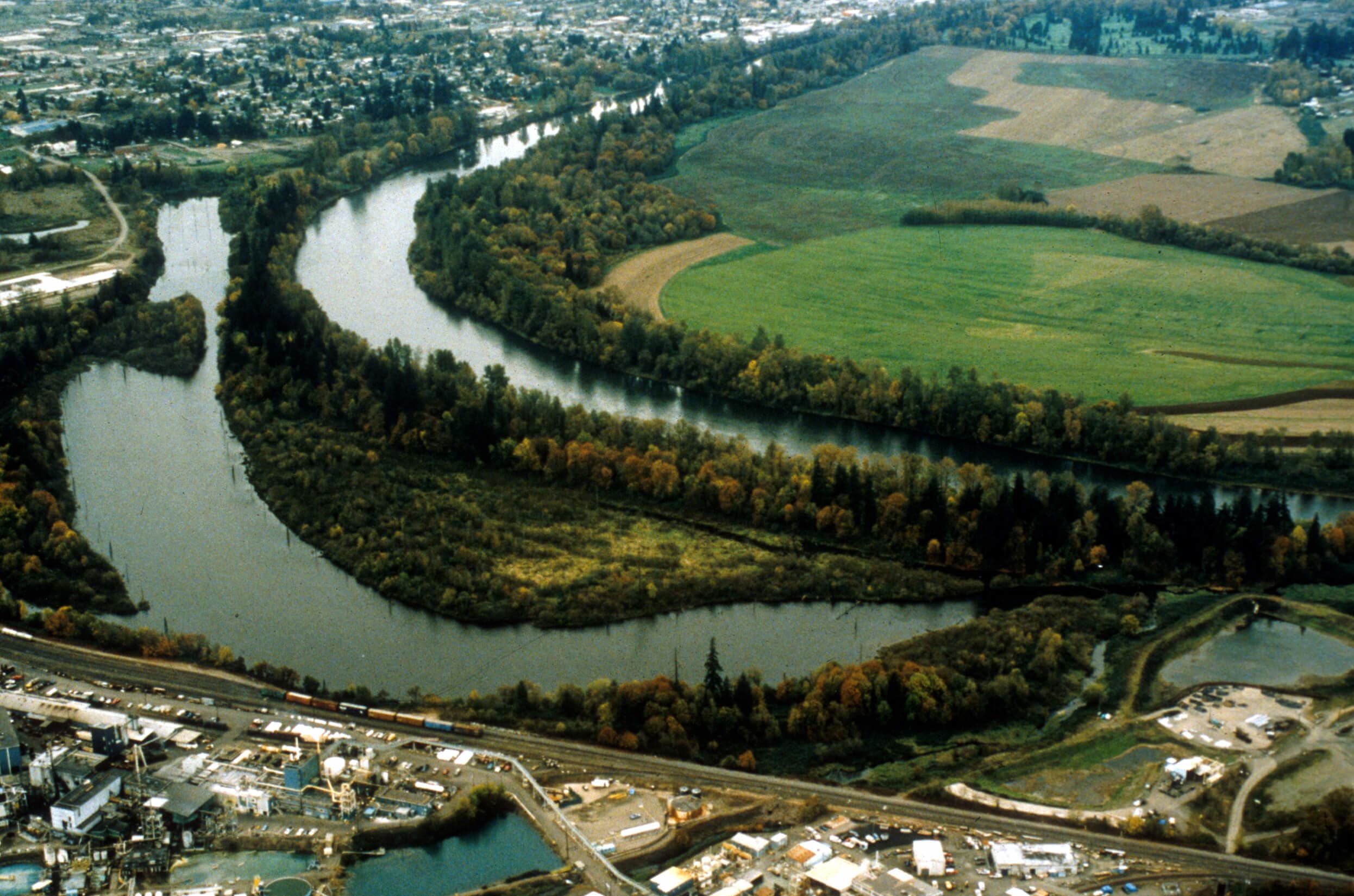
Western Rivers Conservancy is working to restore the once extensive floodplain along the Willamette River. With seventy percent of Oregon's population residing in the Willamette Valley, the floodplain has become a nearly uniform landscape of tilled acres and urban centers. As a result, flood events have increased in frequency and severity, and the diversity of habitat and wildlife has dwindled.
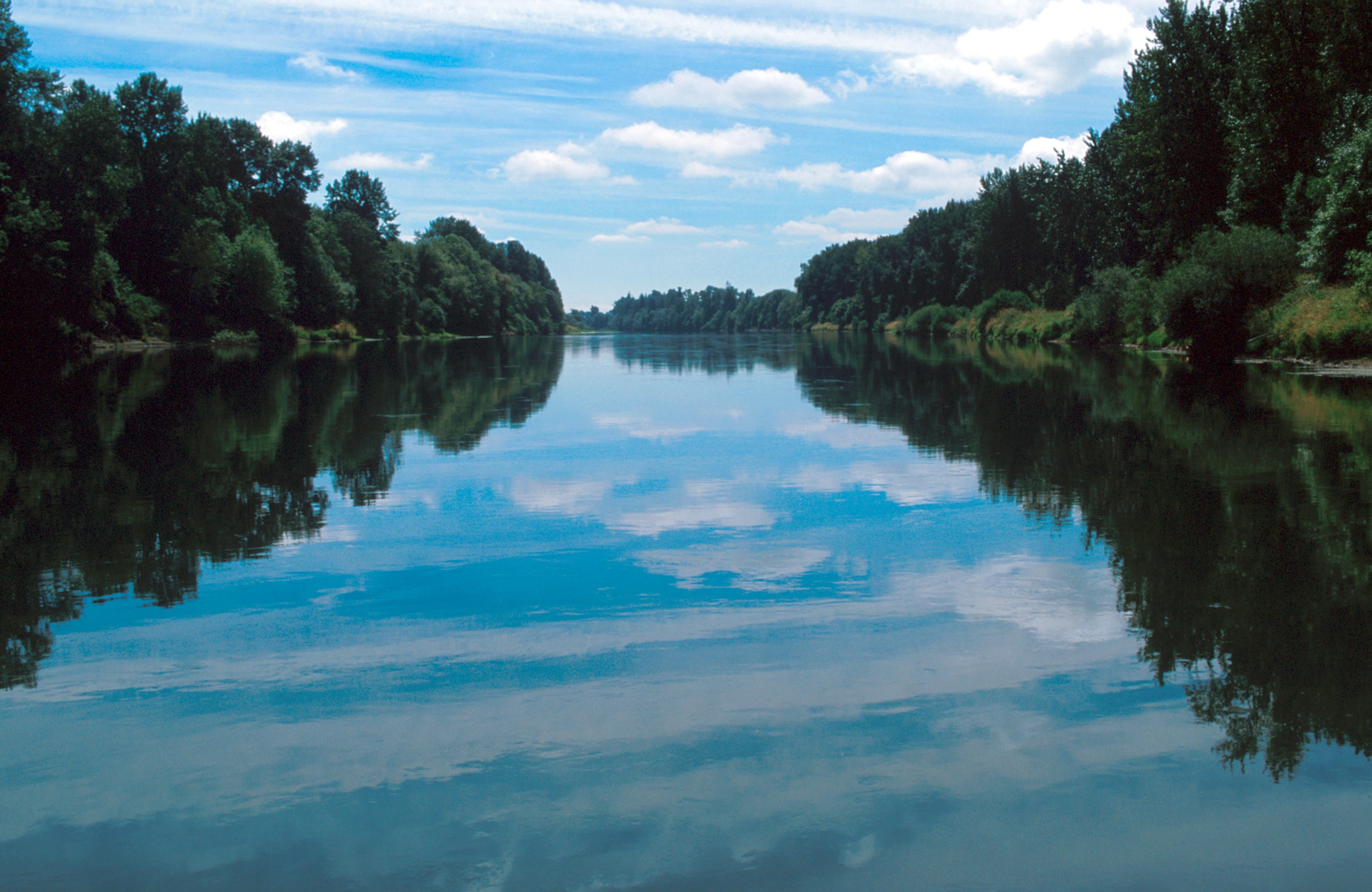
Fortunately, the building blocks for a Willamette floodplain restoration program still exist. Outstanding remnants of the natural river environment, including backwater sloughs, oxbows, and gallery forests, persist in pockets along the river. For over a decade, WRC has worked to acquire these "relic areas" and adjacent properties, working to connect remnant channels and restore the natural character of the Willamette River and its floodplain.
Sam Daws Bend
In 2004, Western Rivers Conservancy made its fifth Willamette floodplain acquisition, purchasing a 27-acre property on the Willamette River ten miles upstream of Corvallis, Oregon. With funding from the North American Wetlands Conservation Act, the land was incorporated into the adjacent Sam Daws Bend State Park. The Oregon Parks and Recreation Department will manage the property by phasing out farming and starting a native planting program.
The owner of this property, Mike Greenslade, learned about Western Rivers Conservancy and wanted to work with the organization to conserve his property. By acquiring such outstanding remnants of the Willamette's natural floodplain, WRC's long-term goal is to reconnect remnant channels in order to alleviate flooding, improve water quality, enhance salmon and wildlife habitat and provide public open space.